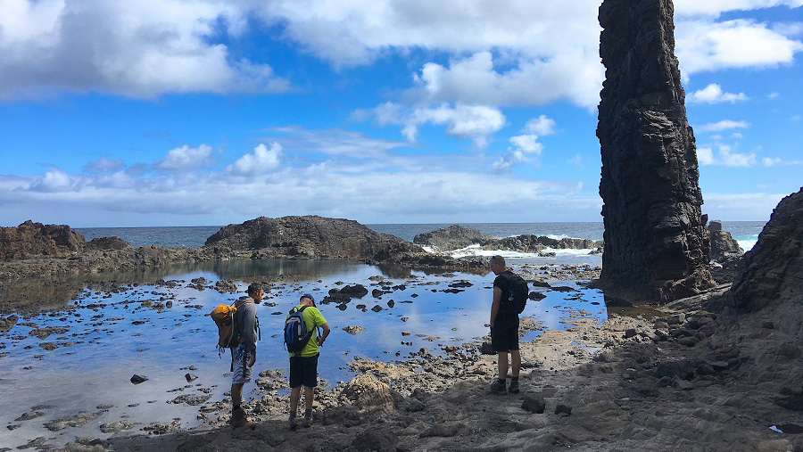
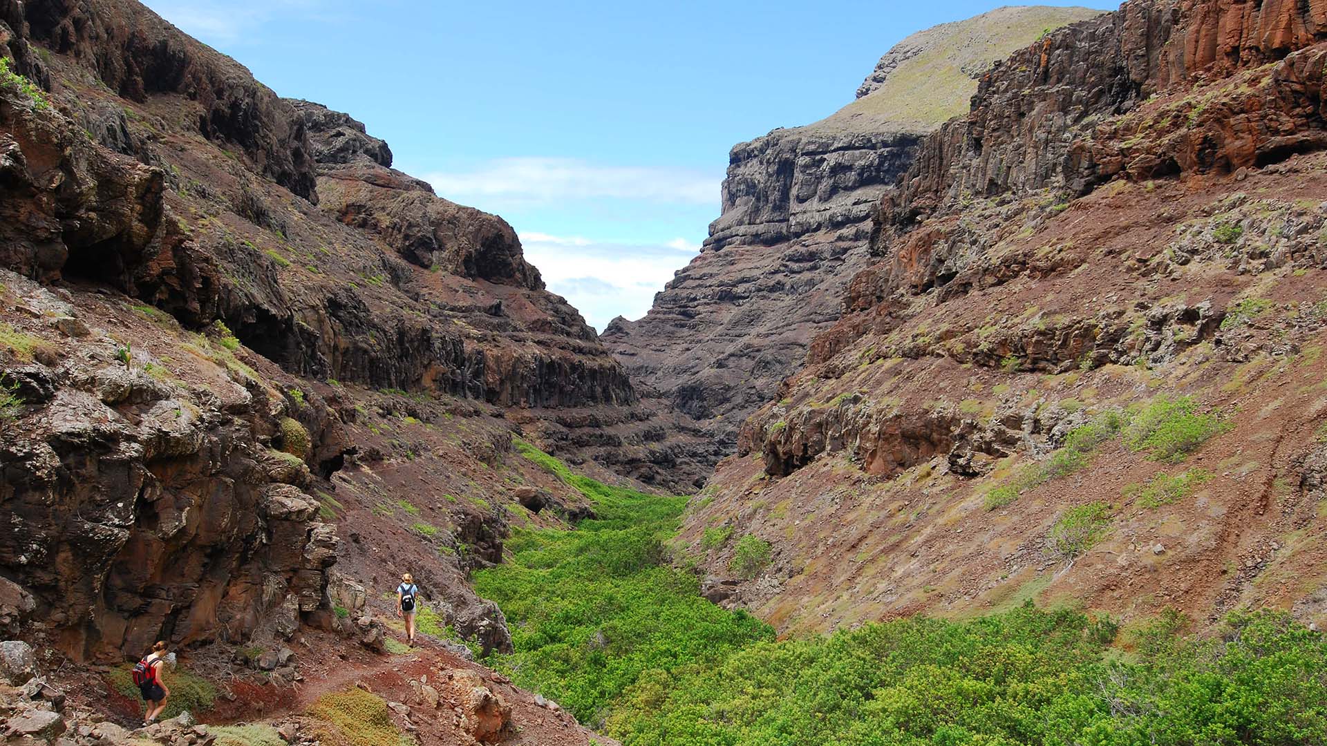
Walking on St. Helena is different, challenging and can be hazardous.
Many of the walks are on steep narrow coastal tracks with loose surfaces.
Walkers should be aware of the dangers of cliff-side paths, uneven terrain, loose grit and stone, vertiginous heights and difficultly of following the route.
The walks are not suitable for disabled people or those with mobility problems. Take plenty of water, even on the simplest of walks.
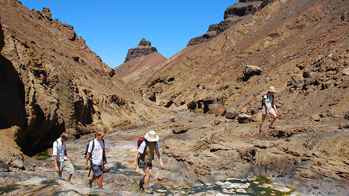
Take care when scrambling over rocks, do not jump down from boulders, this can easily result in a twisted or broken ankle.
Do not attempt to take short cuts up or down cliff faces. Large rocks can be unstable and roll away from you. Wear suitable footwear. Walking boots are recommended as they provide the necessary ankle support.


